How do offshore and onshore winds work?

Wind is a fascinating weather phenomenon. It is a variable constantly trying to find a perfect balance on a planetary scale.
Wind only exists because there are differences in air pressure between two or more points.
It’s like a balloon – if you squeeze it, the air moves or circulates from high to low pressure.
If Earth were perfectly flat and smooth, wind would be nearly nonexistent.
The sun would heat up the planet almost uniformly, and the global temperature differences would be residual.
However, due to the presence of multiple surfaces (water and land), elevations (mountains, buildings, etc.) and depressions, and numerous organic materials (grass, soil, sand, rock, etc.), solar heating’s interaction with the Earth is randomly dispersed.
Some zones will be warmer than others. Thus, columns of air will rise asymmetrically across the globe.
If you stick a needle through a balloon, the highly compressed air inside will quickly move toward the area with less pressure.
So, the behavior of winds is always determined by the need to level out pressure, to find stability, and to find a zero-sum.
It’s the equivalent of the property of opposites in math, i.e., the opposite of a number a is denoted as –a and is defined as the number that, when added to a, yields zero.
Example: -5 + 5 = 0

Diurnal Winds
To understand how offshore and onshore wind work and their dynamics, we must address the concept of diurnal winds.
Diurnal winds are local wind patterns that develop due to the everyday variation in temperature between daytime heating and nighttime cooling.
These winds typically occur daily and are influenced by factors such as solar radiation, land-sea temperature contrasts, and topography.
Diurnal winds are a significant component of atmospheric circulation in many regions and can have important implications for weather, climate, and local ecosystems.
They can take place on mountain slopes and valleys, coastlines, and inland areas with large temperature gradients between different surface types, such as forests, deserts, or urban areas.
The two primary types of diurnal winds are:
1. Land Breeze
Land breezes typically happen at night when the land cools more rapidly than the adjacent water.
As the air over the land cools, it becomes denser and sinks, creating a higher pressure area over the land.
Meanwhile, warmer air over the water rises, creating a lower pressure area.
The pressure gradient between the land and the water causes a breeze to blow from the land towards the sea, known as a land breeze.
2. Sea Breeze
Sea breezes occur during the day when the land heats up more quickly than the water.
As the air over the land warms, this thermal, an upward current of warm air, becomes less dense and rises, creating a lower pressure area over the land.
Cooler, denser air over the water moves inland to fill the void, creating a breeze that blows from the sea towards the land, known as a sea breeze.
Offshore Wind in the Morning
Offshore winds in the morning are not the norm, but they happen a few times yearly.
Due to specific geographical and geological features, winds blowing from land to ocean are frequent in the early hours on some coastlines.
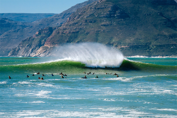
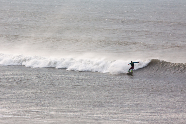
Offshore winds often have a significant impact on waves.
As they blow across swells, they tend to groom the wave faces and hold them longer before breaking, making them superb conditions for surfers.
As we’ve seen above, offshore breeze can only occur if the land temperature is still low compared to the ocean temperature.
Some mornings, the land temperature can still be low until noon, resulting in a longer land breeze.
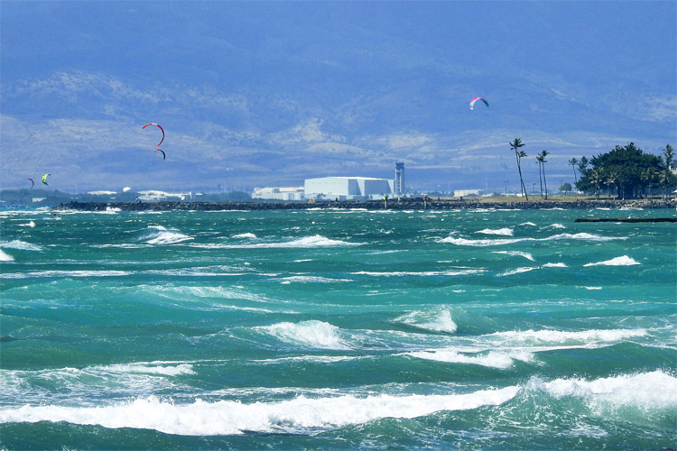
Onshore winds tend to prevail in the afternoons when the local land is already heated by the sun.
Offshore winds are more observed in the evening and morning and are more frequent during winter when the land temperature is lower.
In conclusion, thermal air rises in the late morning or afternoon, moves at higher altitudes toward low-pressure areas above the ocean, sinks toward the sea surface, and then moves again at low altitudes toward the shore, generating onshore winds.
In the evening and early morning, the flow described above is reversed, creating offshore winds.
But in the end, it all depends on how quickly land and water heat up and cool down.
Land heats up much faster than water during the day, but it also loses heat faster at night.
This temperature difference is what creates the land-sea breeze.

Wind Forecasting
However, this equilibrium cannot be predetermined or predicted in the long term in any location.
The offsets in air pressure are so many and so sensitive that a subtle shift in the weather variables can alter the wind pattern for a given place.
It is possible to forecast the behavior of winds for a few days on a specific beach, but it is impossible to set a precise pattern for the upcoming months or years.
For instance, more or less recurring events like El Niño and La Niña can only be predicted several months to a year in advance.
Wind speed and direction are constantly in motion and mutation, and even human activity and unexpected natural events like volcanoes may change their more or less expected course.


